A map of Texas tells the story of the second-largest state in the US through its highways, rivers, cities, and geographic regions. Consequently, understanding how to read a Texas map helps with travel planning, business logistics, and general knowledge of the Lone Star State. This guide covers everything visible on a detailed Texas map.
Texas Map Overview
Texas covers 268,596 square miles with dimensions of approximately 773 miles east to west and 801 miles north to south. Furthermore, no other state except Alaska comes close to this size. As a result, a full Texas map at standard scale must be viewed in sections to appreciate the level of detail available — from the dense urban corridors of Dallas and Houston to the vast emptiness of the Trans-Pecos desert.
Geographic Regions on the Texas Map
Seven major geographic regions are identifiable on any detailed Texas map. Each region has distinct terrain features that are visible even at standard zoom levels.
- East Texas Piney Woods — Dark green forested areas, dense river networks, lakes including Sam Rayburn Reservoir
- Central Texas Hill Country — Rolling limestone terrain, Colorado and Guadalupe River headwaters, visible as lighter terrain west of Austin
- North Texas Plains — Flat prairie visible around the Dallas-Fort Worth Metroplex
- South Texas Brush Country — Semi-arid scrubland south of San Antonio toward the Rio Grande
- West Texas Trans-Pecos — Mountain ranges including the Davis and Chisos Mountains, Big Bend region
- The Panhandle — Flat elevated plains in the far north visible as an angular protrusion on the state map
- Gulf Coast — Barrier islands, bays, and port cities along the southeastern edge
Major Texas Highways on the Map
The Texas highway system is one of the largest in the United States. Therefore, major interstates and US highways form the visible skeleton of any Texas road map.
- Interstate 10 — Runs east-west along the southern portion from Orange to El Paso, connecting Houston and San Antonio
- Interstate 35 — The main north-south spine running from Laredo through San Antonio and Austin to Dallas and Fort Worth
- Interstate 20 — East-west route connecting Pecos to Dallas and Texarkana across the northern half of the state
- Interstate 45 — Connects Galveston and Houston to Dallas
- Interstate 30 — Runs from Dallas northeast to Texarkana toward Little Rock
- US Highway 90 — Historic route through South Texas from Houston to Del Rio
Texas Rivers on the Map
Rivers are among the most prominent features on a Texas map. The Rio Grande runs along the entire southern border forming the international boundary with Mexico. The Red River forms much of the northern border with Oklahoma. In contrast, interior rivers like the Colorado, Brazos, Trinity, Guadalupe, and Nueces flow generally southeast toward the Gulf of Mexico and serve as important water sources for cities and agriculture.
Interactive Texas Map Tools
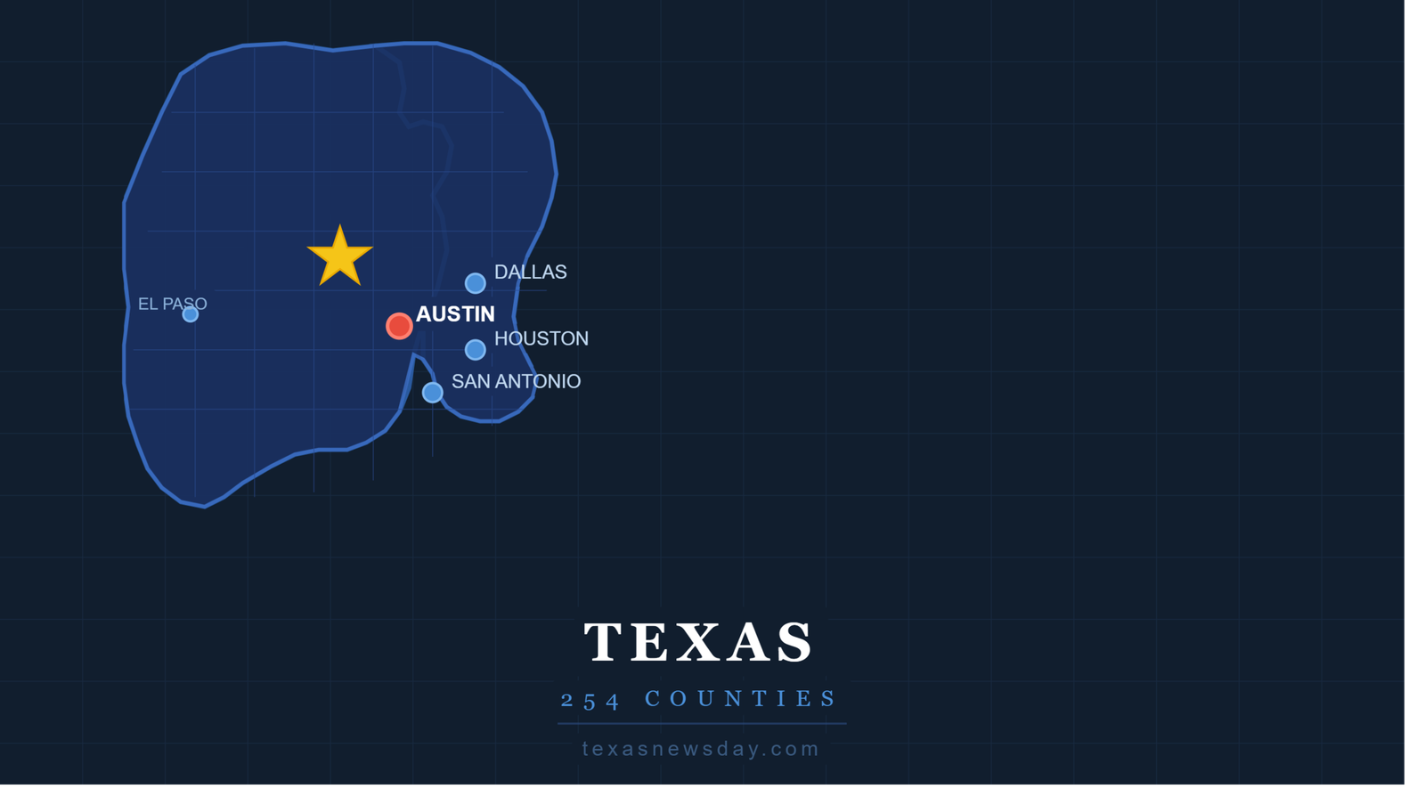
Several digital tools make exploring the Texas map easier than any printed version. Use our interactive Texas County Map tool to click through all 254 counties with population and regional data. Additionally, our Texas ZIP Code Finder helps locate specific neighborhoods and communities across the state.
Where to Get a Free Texas Map
The Texas Department of Transportation at txdot.gov distributes official highway maps free of charge to Texas residents by mail. Furthermore, welcome centers at all major Texas border crossings provide printed maps at no cost to visitors entering the state. Google Maps, Apple Maps, and Waze all provide detailed digital Texas maps with real-time navigation at no cost.
Frequently Asked Questions
What does a map of Texas show?
A map of Texas shows the state’s 254 counties, major cities, geographic regions, rivers, state and national parks, highways, and borders with four US states and Mexico.
Where can I find a free map of Texas?
Free maps of Texas are available from the Texas Department of Transportation at txdot.gov, Google Maps, the Texas State Library, and the US Geological Survey for topographic maps.
What are the main highways shown on a Texas map?
The main highways on a Texas map include I-10 (east-west across the south), I-35 (north-south spine through Austin and San Antonio), I-20 (east-west through Dallas), I-45 (Houston to Dallas), and I-30 (Dallas to Texarkana).
How many miles wide is Texas on a map?
Texas stretches approximately 773 miles from its eastern border to El Paso in the west and about 801 miles from the Panhandle in the north to the southern tip near Brownsville.
What river is the most prominent feature on a Texas map?
The Rio Grande is the most prominent river on a Texas map, forming the entire southern and western border with Mexico. The Red River forms most of the northern border with Oklahoma.
Explore Texas geography with our interactive Texas County Map tool. You can also use our Texas ZIP Code Finder for neighborhood-level location data. Additionally, our Texas Area Code Lookup maps phone codes to specific regions across the state.